Mapping Collections Histories: Barbados and Britain
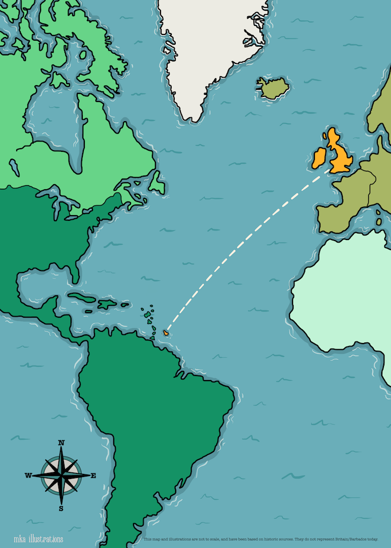
Britain and Barbados are linked by the history of Empire, and archaeological collections. Discover shared collections histories of Britain and Barbados through interactive illustrated maps.
Click Start Exploring Now below to discover collections histories through illustrated maps of Barbados and Britain using the red buttons on each map.
About the maps:
The maps in this exhibition have been co-created as part of “Narrating the Diverse Past“, a joint University of Reading and British Museum partnership project led by Dr Amara Thornton.
The text was written by Amara Thornton, and the maps and illustrations have been created by Michelle Keeley-Adamson. They are based on historic sources and do not reflect Britain or Barbados today. The illustrations are copyright of Michelle Keeley-Adamson. Sources used for the text can be found in Further Reading.

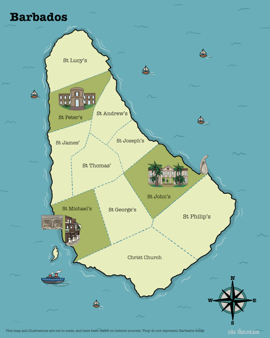
Barbados
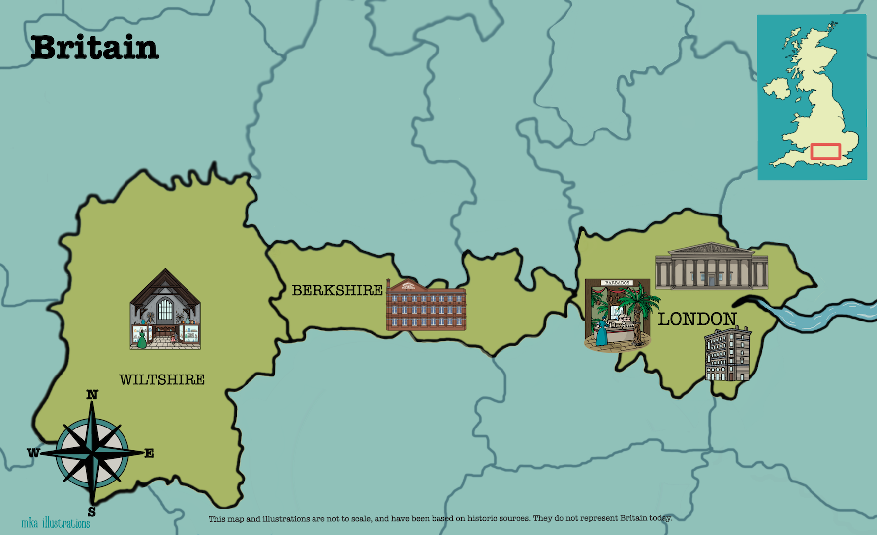
Britain

Illustrated Map of Barbados
Credit line - Illustration © Michelle Keeley-Adamson, 2020

Illustrated Map of Britain
Credit line - Illustration © Michelle Keeley-Adamson, 2020